

System Informacji Przestrzennej
Chciałbyś sprawdzić plan zagospodarowania gminy Prudnik, a może interesujecie Cię które działki należą do gminy? Wszystko to (i wiele innych informacji) możesz uzyskać korzystając z naszego Systemu Informacji Przestrzennej.
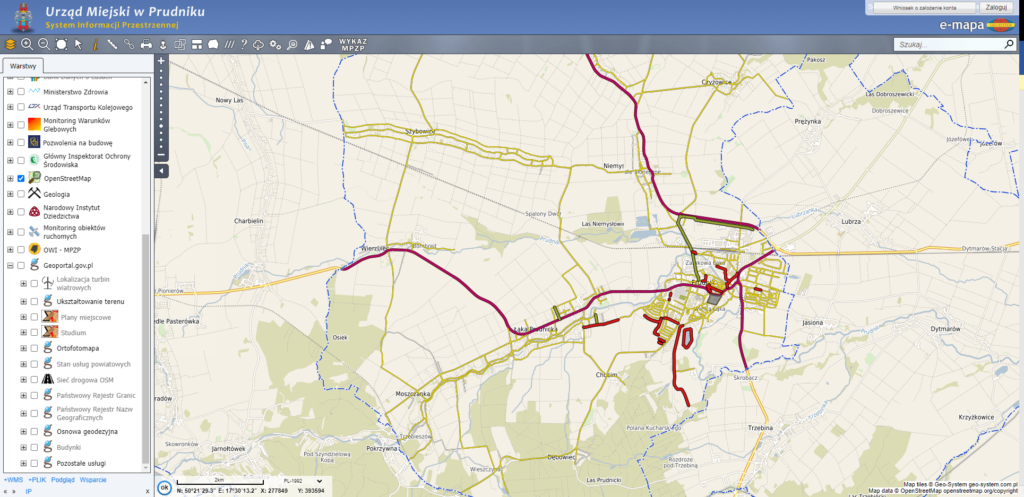
Aby wejść do Systemu Informacji Przestrzennej kliknij tutaj.
Najnowsze aktualności

22.05.2026• Aktualności
Budżet Obywatelski 2026
https://bip.prudnik.pl/budzet-obywatelski-2026
...
09.10.2025• Aktualności
Zostań żołnierzem – dowiedz się więcej
https://wcrkedzierzyn-kozle.wp.mil.pl/aktualnosci/aktualne-formy-sluzby-wojskowej-w-pigulce
...
27.07.2026• Aktualności
Informacja o zamiarze przeprowadzenia postępowania
o udzielenie zamówienia publicznego na odbieranie odpadów komunalnych z nieruchomości niezamieszk...

17.07.2026• Aktualności
Czasowa zmiana organizacji ruchu na Dworcu Autobusowym w Prudniku
Informujemy, że w dniach 20–24 lipca 2026 r. prowadzone będą prace związane z remontem zatoki aut...